Dislocations

Dislocations (IL) (NY) (CA) & (OK), 2019
each 34-35” x 51-65”
Annual average temperature data for a place I once called home interwoven with temperature data for the oceans, plant fibers, plant and insect dyes
Photo credits: Philip Maisel


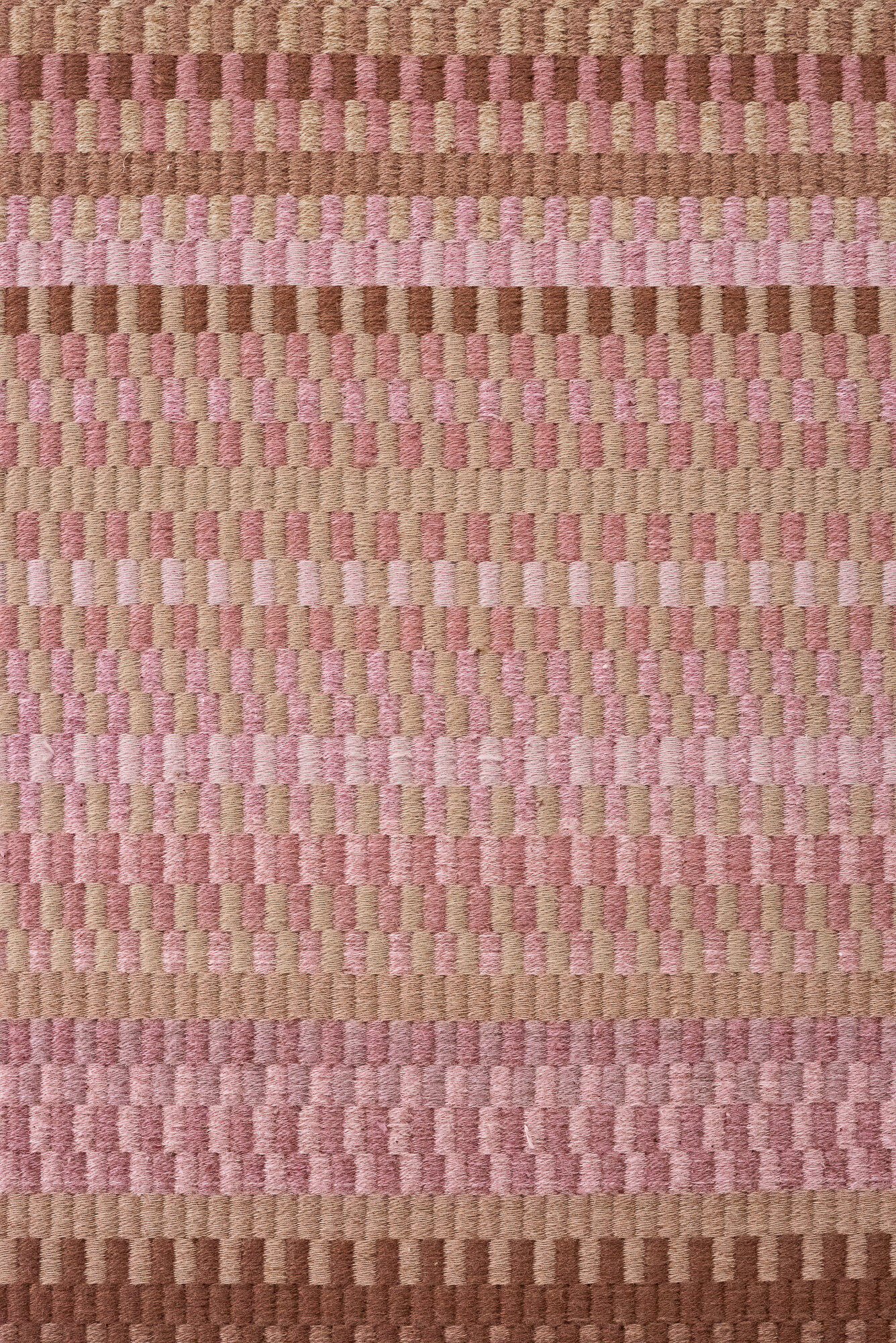


Sea level rise, flooding, species loss, increasingly severe storms. The Dislocations series considers how human life on land harms the oceans; and how rising ocean temperatures will, in turn, affect everyone, whether on the coast or inland, albite differently and unequally.
Each weaving is an interpretation of 124 years of annual average temperature for a place I once called home interwoven with an interpretation of 138 years of annual average temperature for the world’s oceans and memories of that home’s landscape. The colors and structures are based on my memories and connotations of a place’s landscape: the cornfields of central Illinois, New York City’s gridded streets and sky scrapers, Oklahoma’s iconic red soil, and the hills of central California that went from year-round flowers to seemingly year-round fires.